Your Catchment Group Coordinator
Stacey Stuart
021 566 229
stacey@thrivingsouthland.co.nz
About Us
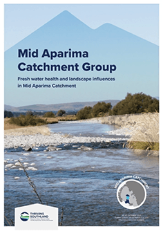
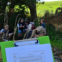
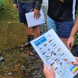
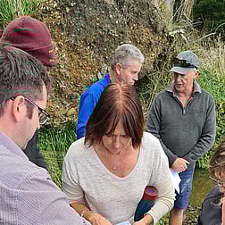
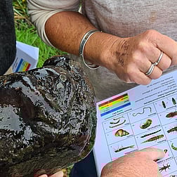
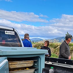
The Mid Aparima Catchment Group was formed in 2018 by a group of local farmers and community members committed to improving water quality and environmental outcomes in their area. Since its inception, the group has hosted a range of activities including stream walks, sediment trap construction, water testing, and educational events. Their collaborative approach and strong community spirit have helped build momentum around sustainable land and water management practices in the catchment.
Catchment Area
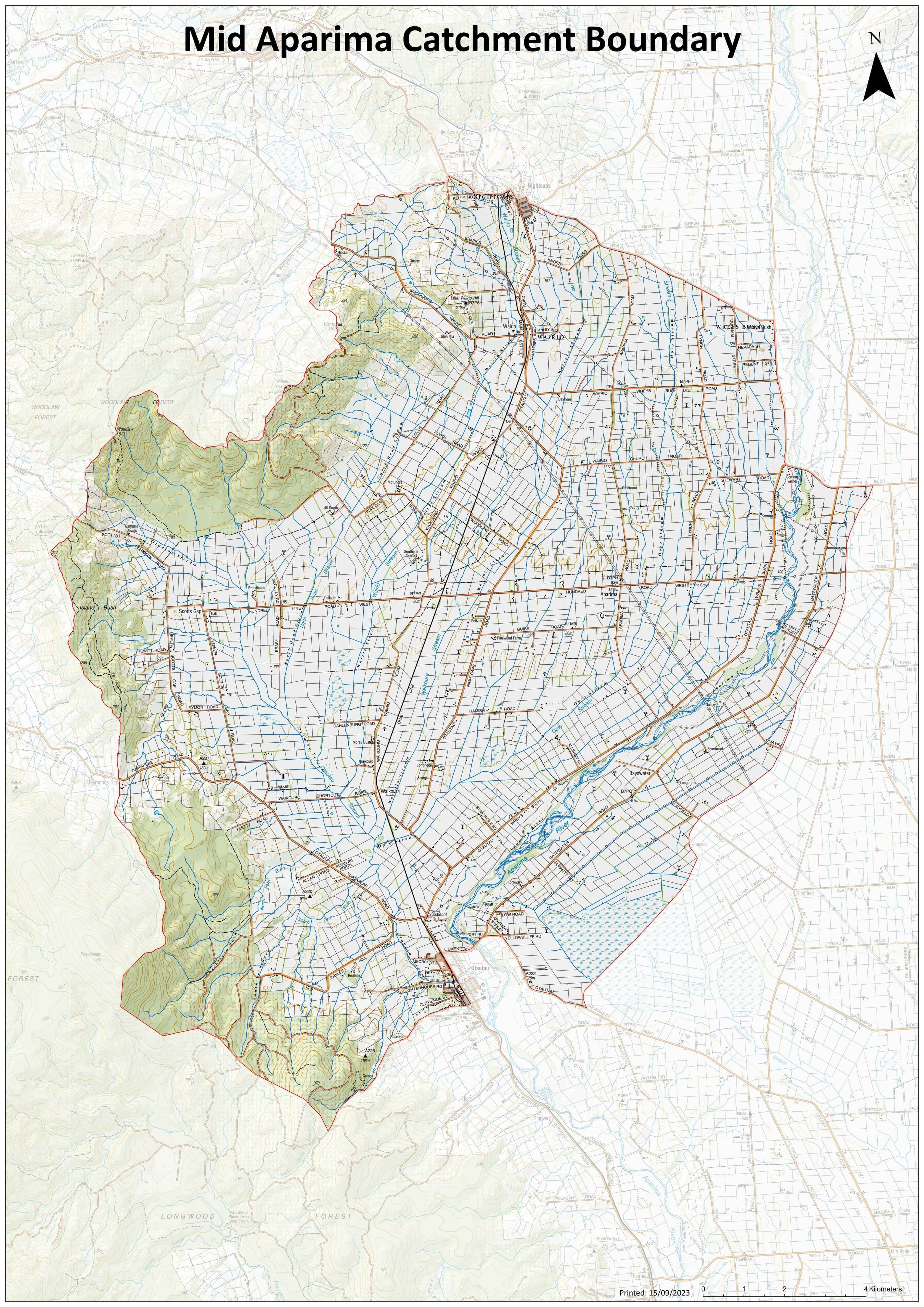
The Mid Aparima Catchment covers the river catchment area between Otautau and the Wreys Bush Bridge, the western boundary features the northern end of the Longwoods and eastern side of the Woodlaw Forest, and stretches north to Nightcaps. The eastern boundary generally follows the main Aparima River channel, without extending far beyond it. The area incorporates a mix of farming landscapes and physiographic zones. This area includes a range of physiographic zones such as Bedrock-Hill Country, Gleyed soils, Peat Wetlands, Riverine, and Central Plains, each influencing how water and contaminants move through the landscape.
Projects
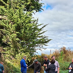
The Mid Aparima Catchment Group has played a key role in the ACE Project, a collaborative initiative focused on improving freshwater outcomes across the Aparima FMU. Through ACE, the group has contributed to water quality monitoring, hosted educational events, and supported farmer-led innovation. Their involvement has helped build stronger connections between science and community, with practical actions like sediment trap construction, slope analysis, and stream walks forming the backbone of their contribution. The group’s commitment to ACE reflects their broader goal of achieving long-term environmental and social benefits through community-led action.
The catchment currently has an Ecodetection unit continuously monitoring the water quality of the Otautau Stream, thanks to support from Fonterra. They are currently exploring how best to utilise this technology to inform future decision-making and enhance catchment-scale water quality understanding.

Thriving Southland is a community-led group with a vision to create a prosperous Southland, healthy people, healthy environment from the mountains to the sea.
View Privacy Policy HERE
CONTACT US
25 Don Street,
Invercargill 9810