Understanding our Geology
Orauea River Catchment Group
Catchment Group:
Project:
Understanding our Geology
Funding:
$151,000 excl. GST
Period:
July 22 to Jun 23
Project Description
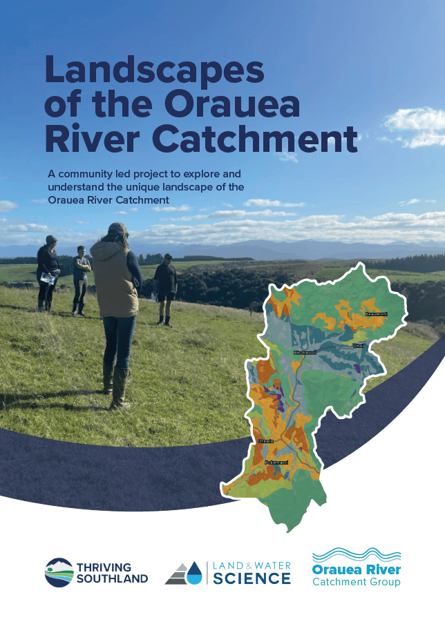
An important issue affecting the Orauea River catchment is the presence of a significant amount of mudstone rock, which is highly unusual for Southland.
To help understand the landscape, this project looks to provide land-users with information on mudstone-based geology and soils and to explain how the interaction between mudstone and water affects water quality. The project will aim to help with managing sediment and E. coli, giving land-users information and confidence to mitigate losses.
Land & Water Science will be engaged to complete a high-resolution stock take of environmental data and map layers, using radiometric and satellite data. Ground truthing will be carried out, mitigation options will be collated into an online resource, and community field days will be held to help share the learnings.
Objectives
Land users to have access to information on mudstone-based geology and soils in order to gain a deeper understanding of the cause and effect of erosion and overland flow.
Farmers to have tools to mitigate mass-wasting, erosion and overland flow on-farm and to the Orauea River and its tributaries.
Catchment Group members to become more engaged and with an increased sense of well-being.
Outcomes
Land users have sufficient information and guidance backed by science to make changes on-farm that improve the Orauea River and its tributaries in regards to sediment and E. coli.
There is a range of platforms to help farmers access and engage with valuable information and learnings, in a format and language that is easy to understand and convert to on-farm practical actions that can be shared.


