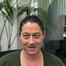
Your Catchment Group Coordinator
Stacey Stuart
021 566 229
stacey@thrivingsouthland.co.nz
About Us
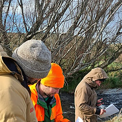
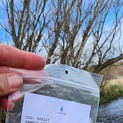
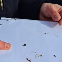
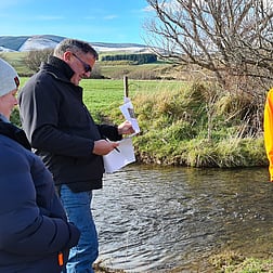
The Upper Aparima Catchment Group was formed in 2018, during a time when central government regulations were seen by many locals as unworkable and disconnected from on-the-ground realities. The group came together around a shared need to submit feedback and advocate for practical, community-driven solutions. Since then, it has grown into a proactive network of farmers, landowners, and community members working collaboratively to improve water quality, biodiversity, and land management. Their efforts include stream walks, sediment trap field days, and hands-on workshops, all reflecting the Southland spirit of resilience, innovation, and care for the land.
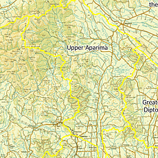
Catchment Area
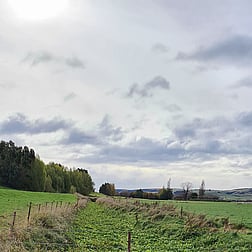
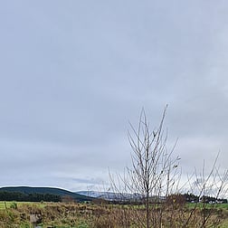
The Upper Aparima Catchment encompasses the Aparima River and its tributaries north of the Wreys Bush Bridge. It includes a diverse range of landscapes—from alpine and bedrock hill country to gleyed and oxidising soils—flowing down into the riverine flats. This area represents a mix of farming systems and physiographic zones, each with unique water and soil characteristics. The catchment group focuses its efforts within this sub-catchment, working collaboratively to address environmental challenges and improve waterway health across the region.
Projects
As a member of ACE (Aparima Community Environment), the Upper Aparima Catchment Group played a key role in shaping catchment-wide initiatives. ACE provides a platform for sub-catchments to share knowledge, coordinate efforts, and advocate for practical, community-led environmental solutions. Upper Aparima has contributed to ACE’s strategic direction, participated in joint events, and supported collaborative submissions on regional and national policy. Their involvement ensures that local voices are heard and that solutions are grounded in real-world farming experience
The group are always open to ideas and keen for more members to build on the groups momentum.

Thriving Southland is a community-led group with a vision to create a prosperous Southland, healthy people, healthy environment from the mountains to the sea.
View Privacy Policy HERE
CONTACT US
25 Don Street,
Invercargill 9810