Wendonside Catchment Group
A proactive farming community working together & investing in our future.
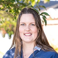
Your Catchment Group Coordinator
Tessa Miller
021 400 431
tessa@thrivingsouthland.co.nz
Catchment Group Contact
Rob Dingle
wendonsidecg@gmail.com
About Us
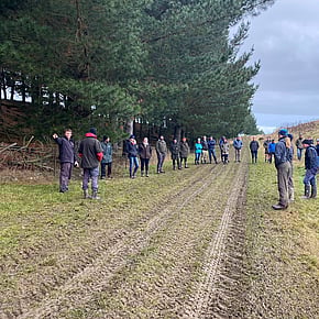
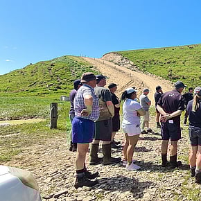
The Wendonside Catchment Group formed in June 2019 when our community came together with a combined desire to further understand groundwater and surface water quality in our catchment. We have a growing membership that currently includes 46 properties. These properties cover 82% of the total area of our catchment. Properties in our group are mainly flat land to moderate rolling, and we have several hill country properties included along our northern catchment boundary.
We are an incorporated society that has established a funding model to collect funds from its members to finance approved initiatives.
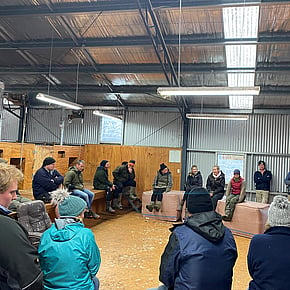
As a Catchment Group we have many purposes. We wish to promote the role of farming in managing local water quality. We want to provide support to ensure good environmental farm management practices are in place. It is our intent to demonstrate, support and promote sound environmental stewardship amongst our members. We aim to undertake initiatives that will provide our members with sound technical information and give them opportunities to increase our knowledge of water quality and wider environmental topics. Ultimately, we want to ensure the ability of our members to farm sustainably, in a community which thrives and is not socially divided on the basis of nutrient allocation.
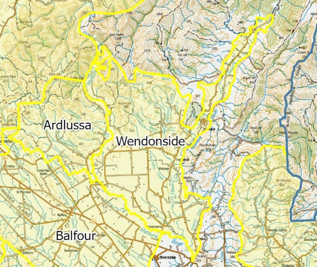
Catchment Area
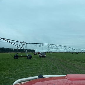
Our total catchment area is 27,000 hectares and spans east to west between Dome Burn Creek and the Mataura River. The southern boundary is the confluence of the Waikaia River with the Mataura River. Properties in our group are mainly flat land to moderate rolling and we have several hill country properties included along our northern catchment boundary.
Projects
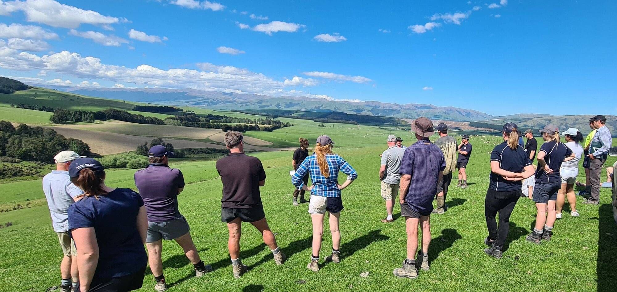
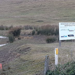
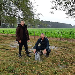
The Wendonside Catchment Group worked with Land & Water Science to gain a clearer picture of how their land and water interact across the 27,000-hectare catchment. Completed in March 2023, the project used physiographic mapping, radiometric and satellite data, alongside Macroinvertebrate Community Index (MCI) testing, to understand how different landscapes, soils and groundwater patterns influence water quality outcomes.
By combining science with local knowledge, the project helped farmers, and the community, identify where nutrients and contaminants were most at risk of entering waterways, with confidence in the results strengthened through on-the-ground testing and farmer involvement. Findings were delivered down to a paddock scale, giving farmers practical information to guide future management decisions, while also shaping a catchment-wide strategy to reduce water quality risks.

Thriving Southland is a community-led group with a vision to create a prosperous Southland, healthy people, healthy environment from the mountains to the sea.
View Privacy Policy HERE
CONTACT US
25 Don Street,
Invercargill 9810